The Story
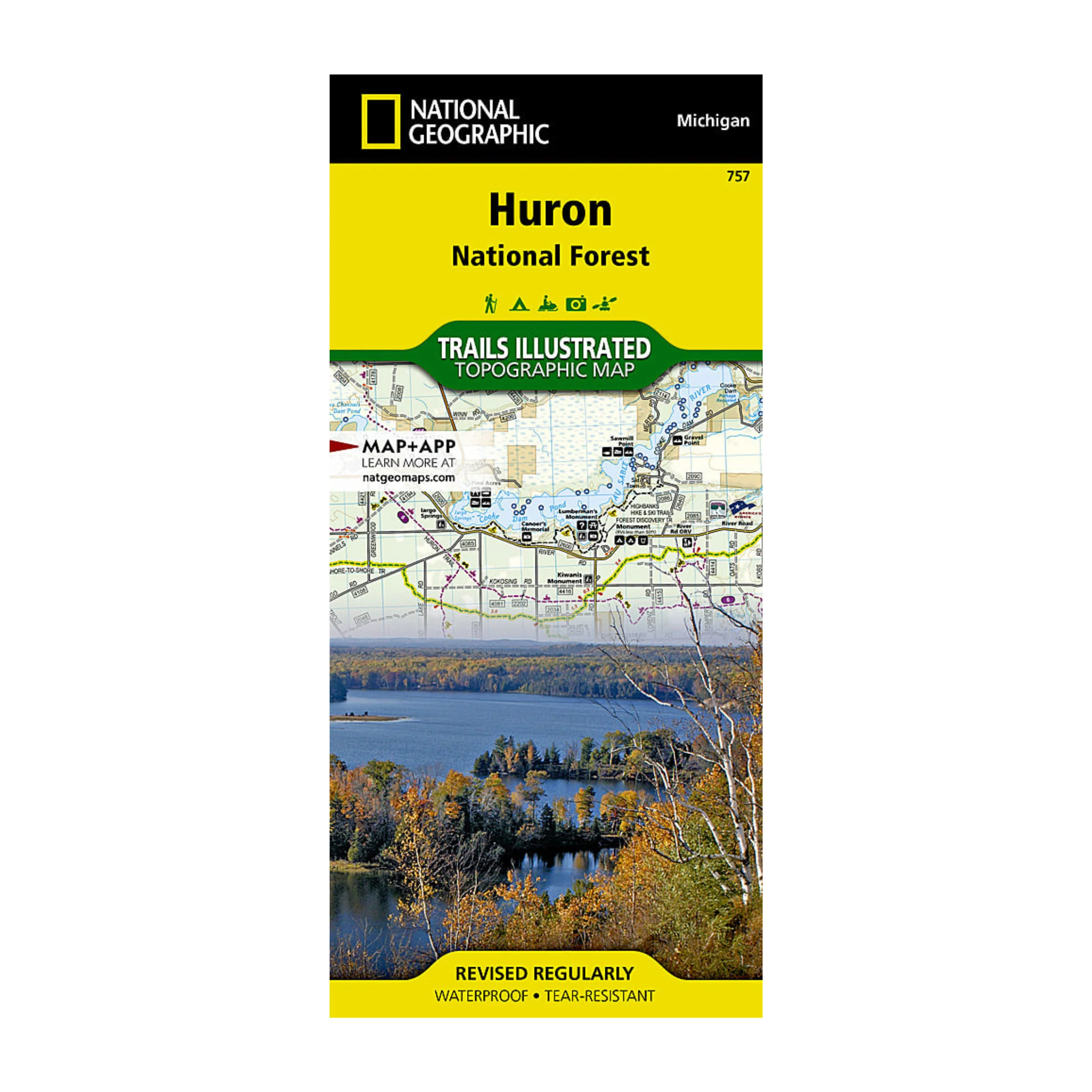
Expertly researched and created in cooperation with the U.S. Forest Service, Michigan Department of Natural Resources and others, National Geographic's Trails Illustrated map of Huron National Forest is an essential travel companion for outdoor enthusiasts exploring this area in northeast lower Michigan. The map's coverage includes popular recreation areas, such as Au Sable National Scenic River; South Higgins Lake, Tawas Point and Harrisville State Parks; Sturgeon Point Scenic Site; Hubbard, Sand and Round Lakes; River Road Scenic Byway; and Lake Huron.
Details & Craftsmanship
Every detail has been carefully considered to bring you the perfect product.
Description
Expertly researched and created in cooperation with the U.S. Forest Service, Michigan Department of Natural Resources and others, National Geographic's Trails Illustrated map of Huron National Forest is an essential travel companion for outdoor enthusiasts exploring this area in northeast lower Michigan. The map's coverage includes popular recreation areas, such as Au Sable National Scenic River; South Higgins Lake, Tawas Point and Harrisville State Parks; Sturgeon Point Scenic Site; Hubbard, Sand and Round Lakes; River Road Scenic Byway; and Lake Huron.